Two of the Southeast's great long trails — the Appalachian Trail and the Benton MacKaye Trail — run through the mountains surrounding Suches, GA. The AT passes Blood Mountain and crosses GA-60 at Woody Gap, minutes from Suches. The Benton MacKaye offers quieter, wilder terrain through the same mountain landscape. Neither requires a through-hiking permit. Both are accessible as day hikes from Suches.
The Appalachian Trail
AT
The Appalachian Trail runs 2,198 miles from Springer Mountain in Georgia to Mount Katahdin in Maine. Georgia’s 78-mile section is where the trail begins, and it passes through some of the most rugged and beautiful terrain in the state. The North Georgia mountains around Suches put you within close range of several excellent AT access points. The Appalachian Trail Conservancy manages the trail in partnership with the National Park Service and is the authoritative source for trail conditions, access points, and Georgia-specific hiking information.
Woody Gap on GA-60 is the closest AT trailhead to the cabins. There is a small parking area and a gap in the ridge where the trail crosses the road. From Woody Gap you can hike north toward Jarrard Gap and Lake Winfield Scott, or south along the ridge toward Blood Mountain. The trail follows the mountain ridgeline through open hardwood forest with views that open up at gaps and balds. Long Creek Falls is accessible from Woody Gap via the AT heading south.
Blood Mountain is the highest point on the Georgia AT at 4,458 feet. The most common approach is from Neel Gap on US-19, accessible from Suches via GA-60. The Blood Mountain loop via the Byron Reece and Appalachian trails is a 4.5-mile moderate to strenuous hike with significant elevation gain. The stone shelter near the summit is one of the most photographed spots on the southern AT. Views from the summit on a clear day extend across multiple counties.
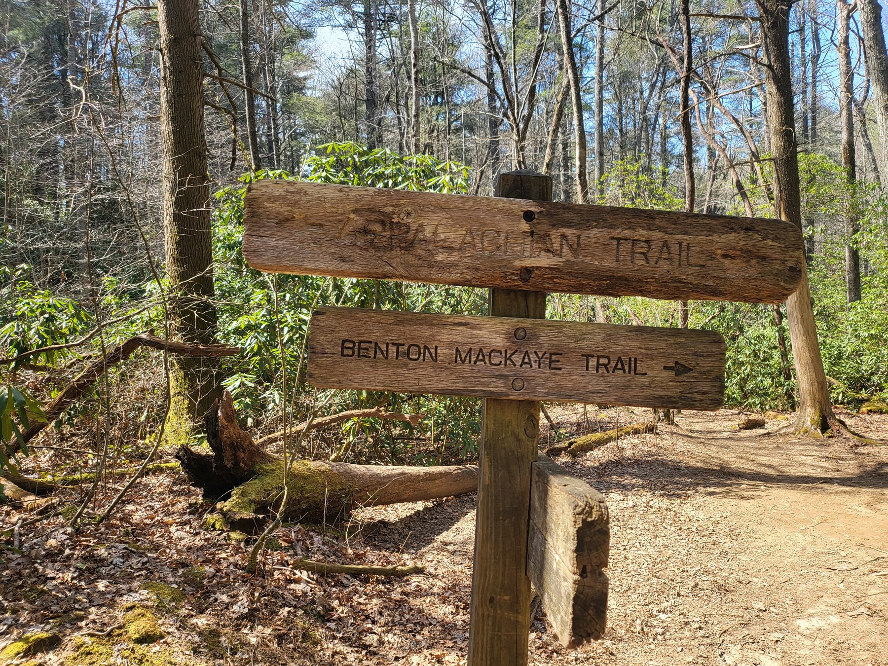
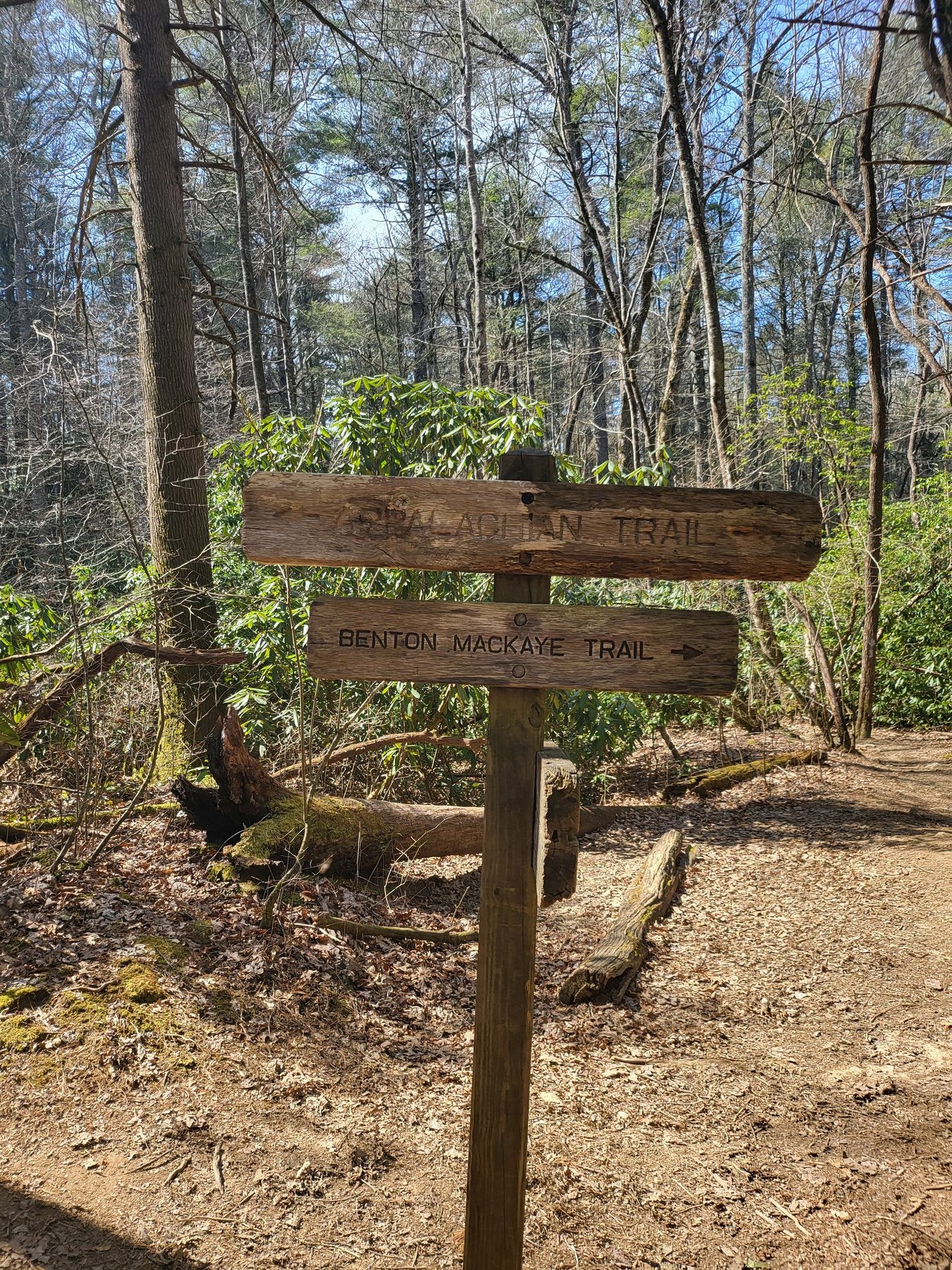
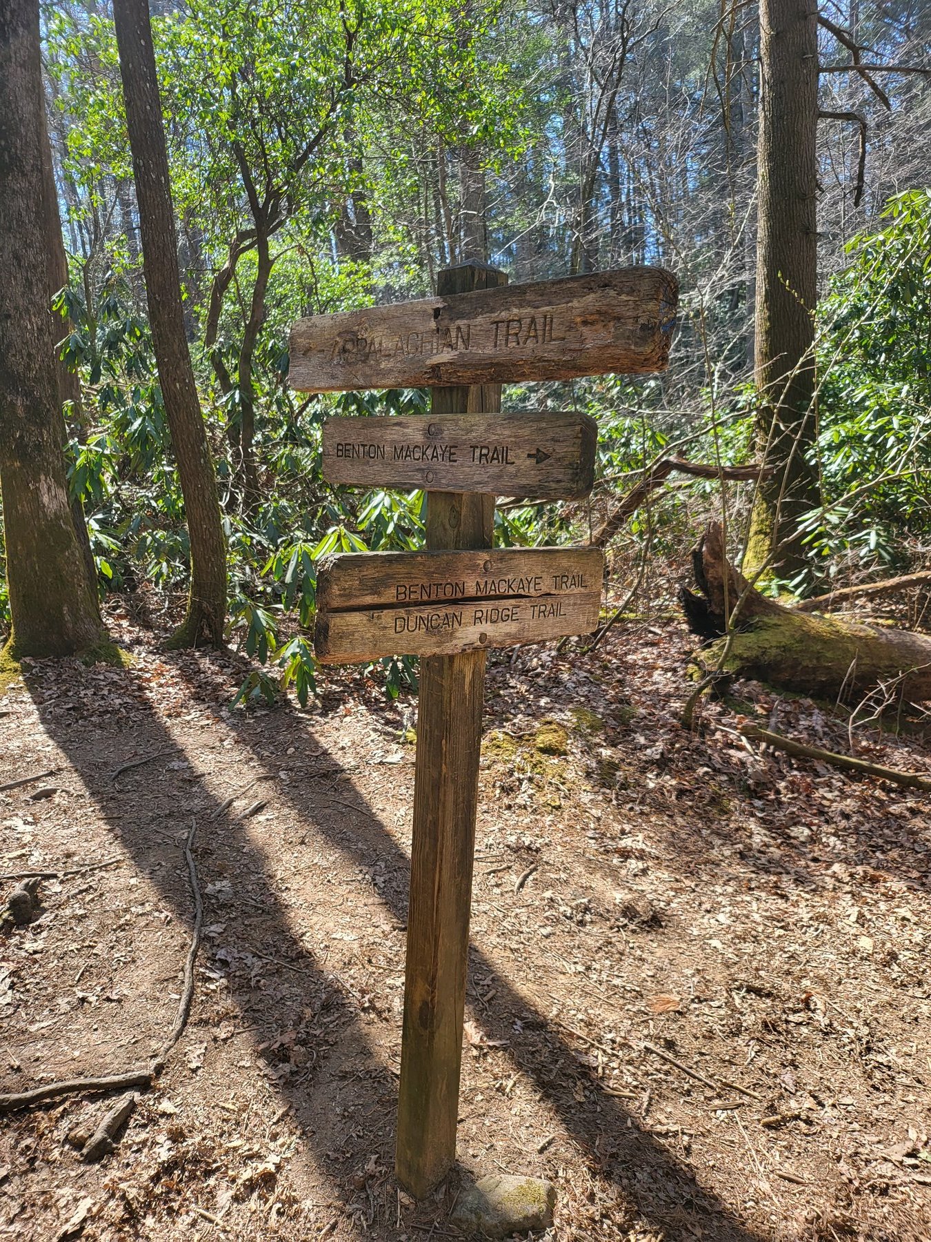
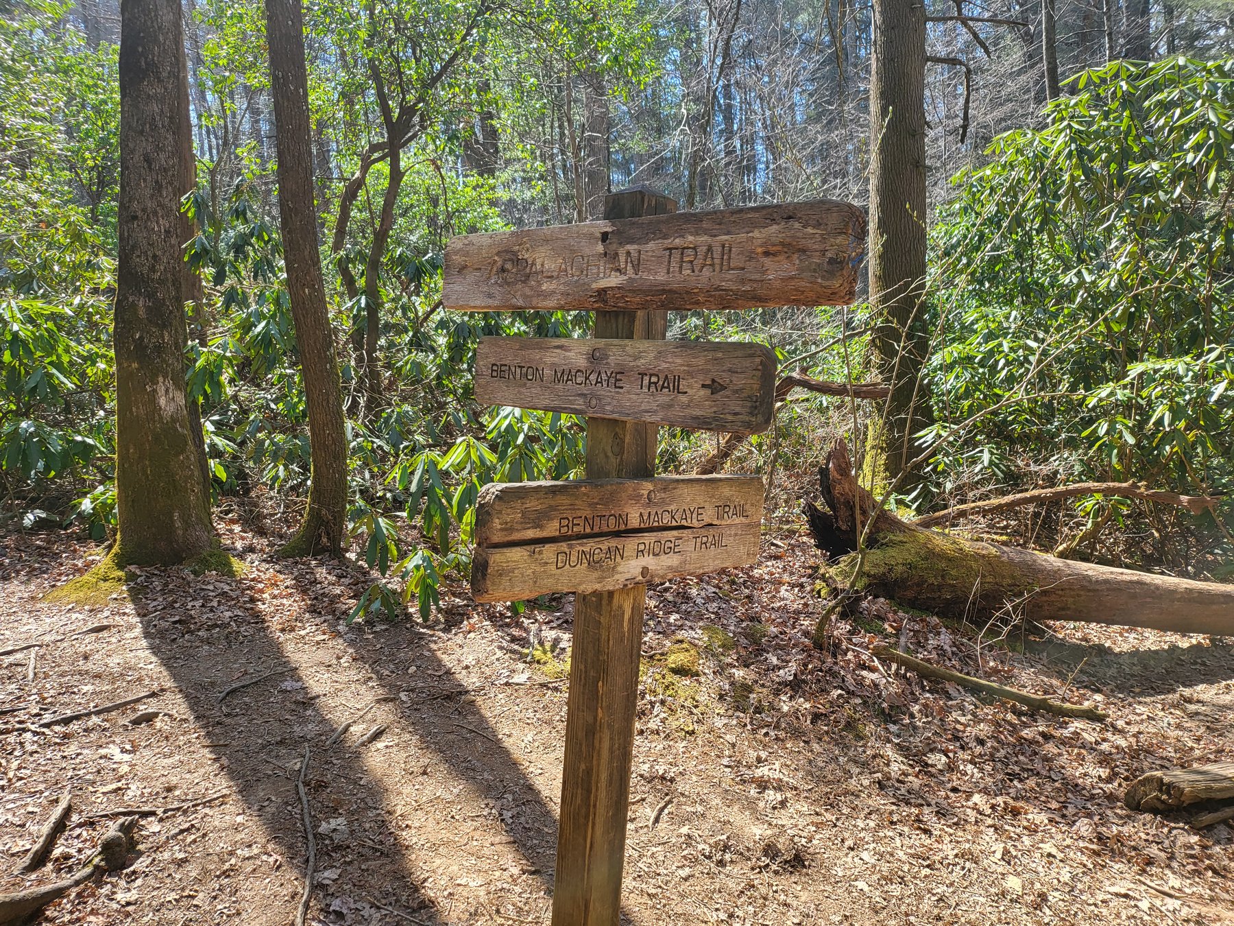
AT and BMT junction at Springer Mountain. Both trails begin here.The AT and BMT share the same southern terminus at Springer Mountain.
Three trails share the same post: AT, BMT, and the BMT Duncan Ridge connector.AT, BMT, and Duncan Ridge all start within steps of each other at Springer.
Your North Georgia mountain getaway is waiting. Bring your dog. Pack your rod. Leave your stress.
The Benton MacKaye Trail is less famous than the AT but beloved by those who hike it. Named after Benton MacKaye, the forester and conservationist who first proposed the Appalachian Trail in 1921, the BMT runs approximately 300 miles from Springer Mountain in Georgia through the Cohutta Wilderness and into Tennessee and North Carolina.
The BMT follows a different philosophy than the AT. Where the AT tends to follow ridgelines, the BMT dips into river valleys, crosses streams, and travels through wilderness areas that see far less foot traffic. It is a wilder, quieter trail. If you want solitude, the Benton MacKaye delivers it.
The trail passes through the mountains of Fannin and Union counties around Suches. Sections near the Toccoa River corridor and through the Cohutta Wilderness offer excellent hiking through mature forest with stream crossings and wildlife sightings that are less common on the more heavily traveled AT.
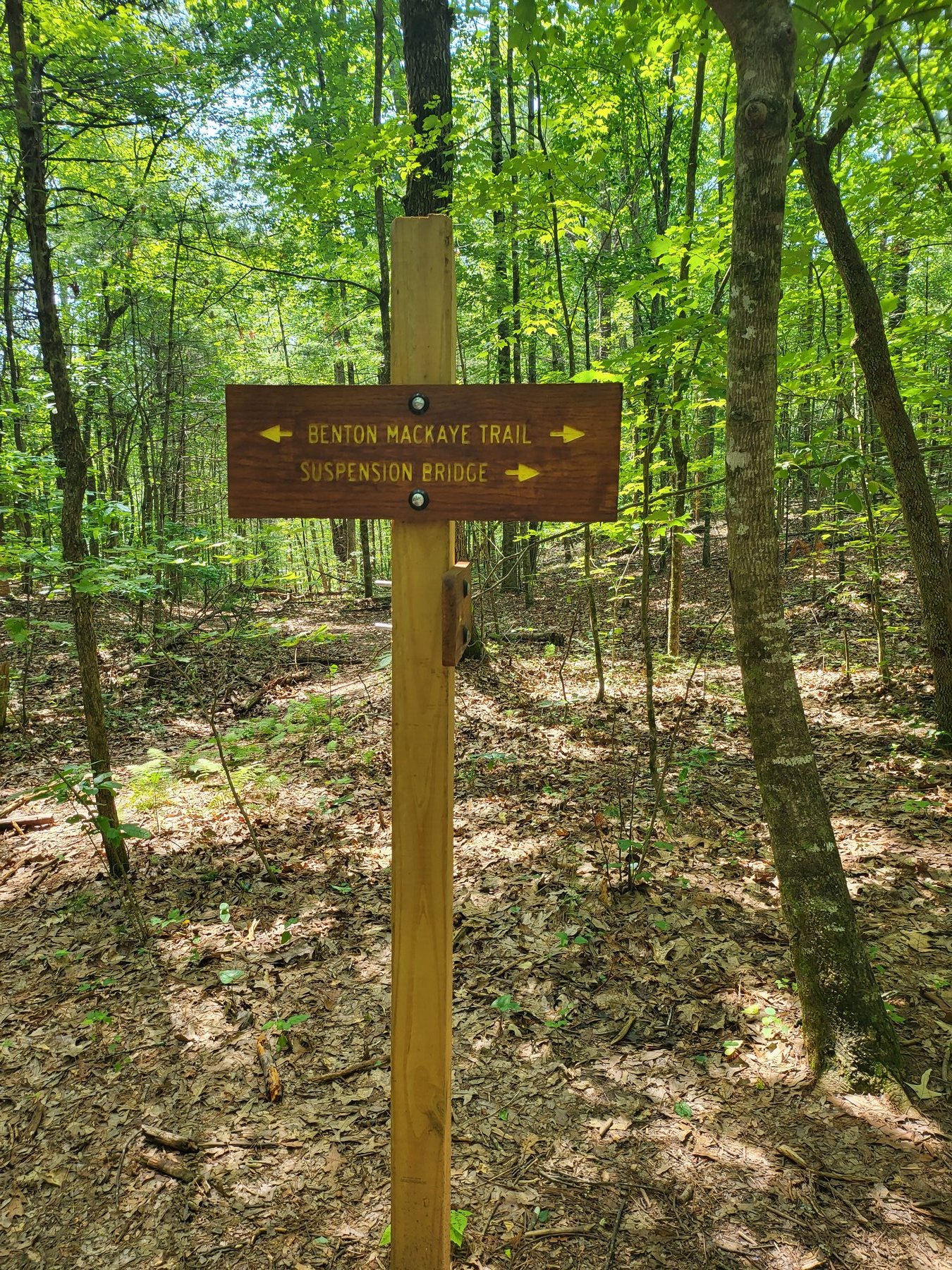
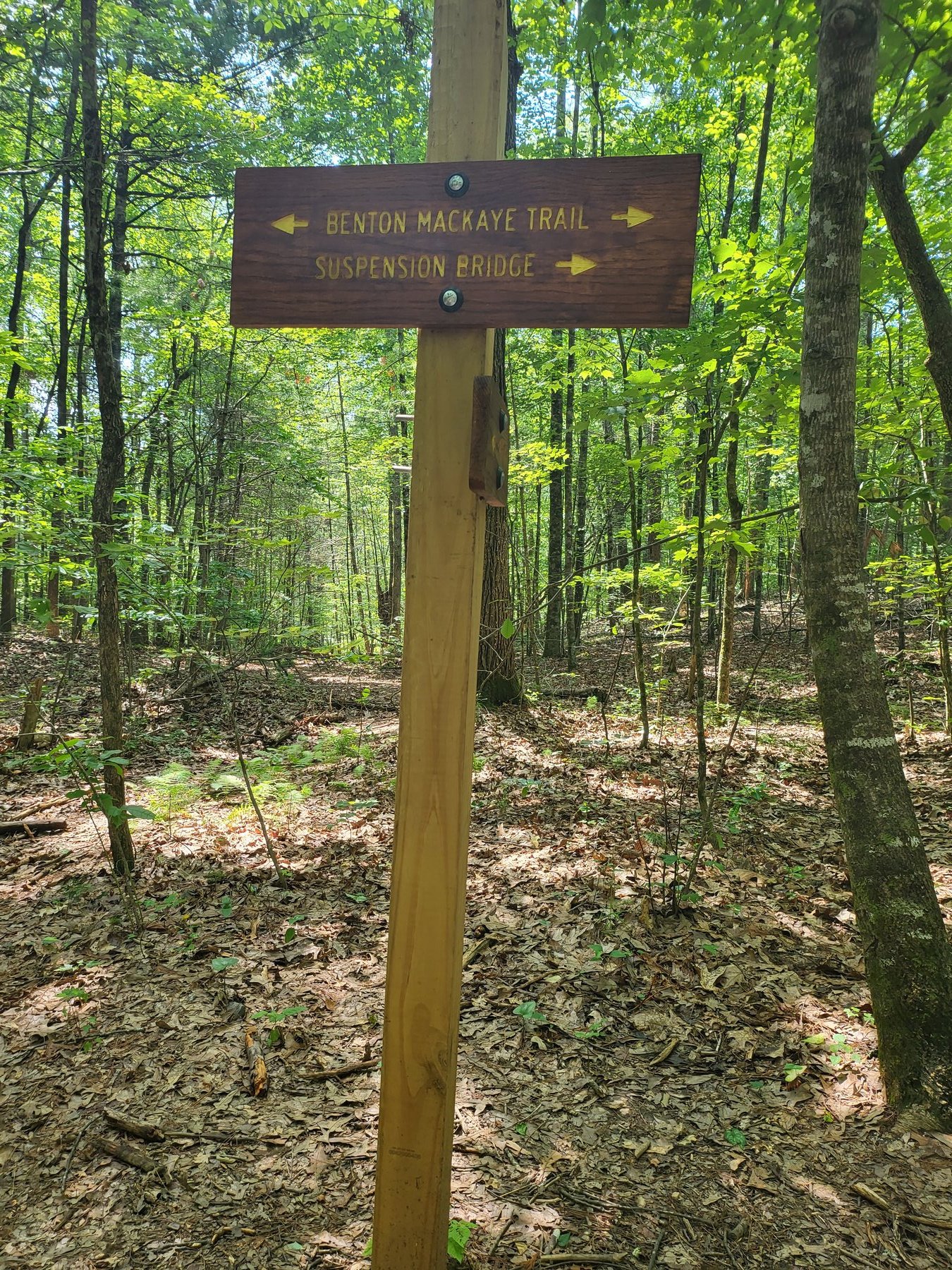
BMT directional sign. The Toccoa River Suspension Bridge is a classic stop on the Georgia BMT.Summer on the BMT. The trail travels through mature hardwood forest with far less foot traffic than the AT.
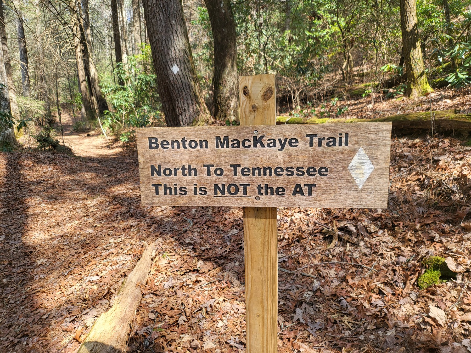
The BMT makes it clear: this is not the AT. North to Tennessee from Springer Mountain.
Dogs are welcome on most sections of both the AT and BMT in the Chattahoochee National Forest. Keep them on leash in trailhead areas and be prepared for rugged terrain on longer sections.
Day Hike Options from Suches
Woody Gap to Long Creek Falls (AT): About 2.5 miles round trip. Mostly flat to gently rolling trail along the AT to a beautiful cascade waterfall. Great for families and dogs. Highly recommended as a half-day outing.
Woody Gap ridge walk (AT): Hike north from Woody Gap along the AT ridge toward Jarrard Gap for views and forest walking. Go as far as you like and turn back. No destination required.
Blood Mountain summit (AT): 4.5-mile loop from Neel Gap. Strenuous. Worth it for experienced hikers. Check the weather before heading to the summit. Exposed rocky terrain near the top makes lightning a real concern.
BMT sections near Suches: Access points exist throughout the area. AllTrails and the Benton MacKaye Trail Association website list current access points, trail conditions, and route options for the sections closest to Suches.
What to Bring
Sturdy hiking boots or trail runners with ankle support
Water: at least 2 liters per person for any hike over 3 miles, more in summer
Snacks and a real lunch for longer hikes
Rain layer: mountain weather in North Georgia changes fast
Trekking poles for steep or technical terrain
Paper map or downloaded offline trail map (cell service is limited in the mountains)
Dog water and collapsible bowl if bringing your dog
Frequently Asked Questions
What is the closest Appalachian Trail access point to Suches, GA?
Woody Gap on GA-60 is the closest AT trailhead to Suches. There is a small parking area where the trail crosses the road. From Woody Gap you can hike north toward Jarrard Gap or south toward Blood Mountain and Long Creek Falls.
Can I hike to Blood Mountain from Suches, GA?
Yes. The most common approach is from Neel Gap on US-19, accessible from Suches via GA-60. The Blood Mountain loop is 4.5 miles, moderate to strenuous, with significant elevation gain. It is the highest point on the Georgia AT at 4,458 feet.
Are dogs allowed on the Appalachian Trail and Benton MacKaye Trail near Suches?
Yes, on most sections of both trails in the Chattahoochee National Forest. Keep them on leash in trailhead areas and be prepared for rugged terrain on longer sections.
What is the difference between the AT and the Benton MacKaye Trail?
The AT follows ridgelines and is heavily traveled. The Benton MacKaye dips into river valleys, crosses streams, and travels through wilderness that sees far less foot traffic. If you want solitude, the BMT delivers it.
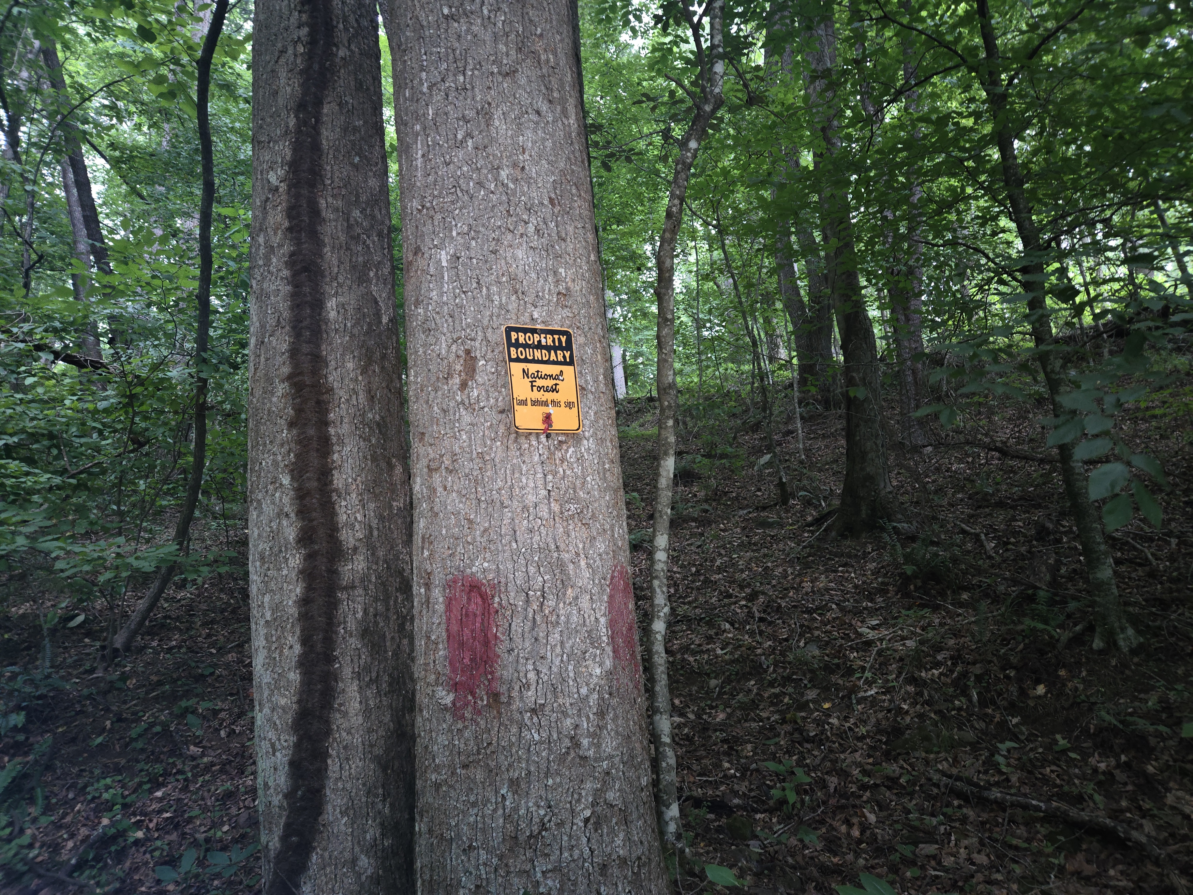
National Forest boundary and trail blaze at the back edge of Headwaters. The trail starts here.
Two World-Class Trails Out the Door
Base camp in Suches and day hike the AT and Benton MacKaye. The Chattahoochee National Forest surrounds Suches on all sides.